


Product Details
+
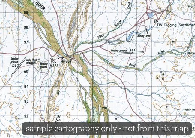
At this scale 1cm on the map represents 1km on the ground. Each map covers a minimum area of 0.5 degrees longitude by 0.5 degrees latitude or about 54 kilometres by 54 kilometres. The contour interval is 20 metres. Many maps are supplemented by hill shading.
These maps contain natural and constructed features including road and rail infrastructure, vegetation, hydrography, contours, localities and some administrative boundaries.
- Coverage: Australia is covered by more than 3000 x 1:100 000 scale maps, of which 1600 have been published as printed maps.
- Currency: Ranges from 1961 to 2009. Average 1997.
- Coordinates: Geographical and either AMG or MGA coordinates.
- Datum: AGD66, GDA94; AHD
- Projection: Universal Transverse Mercator UTM.


")
")
 by Geoscience Australia (1977)")


 L59UD-G24-W")
